The ICATMAR Operational Oceanography Service is consolidated

Since 2023, the ICATMAR Operational Oceanography Service has been providing reliable and up-to-date information on the state of the sea in Catalonia.
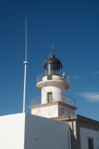
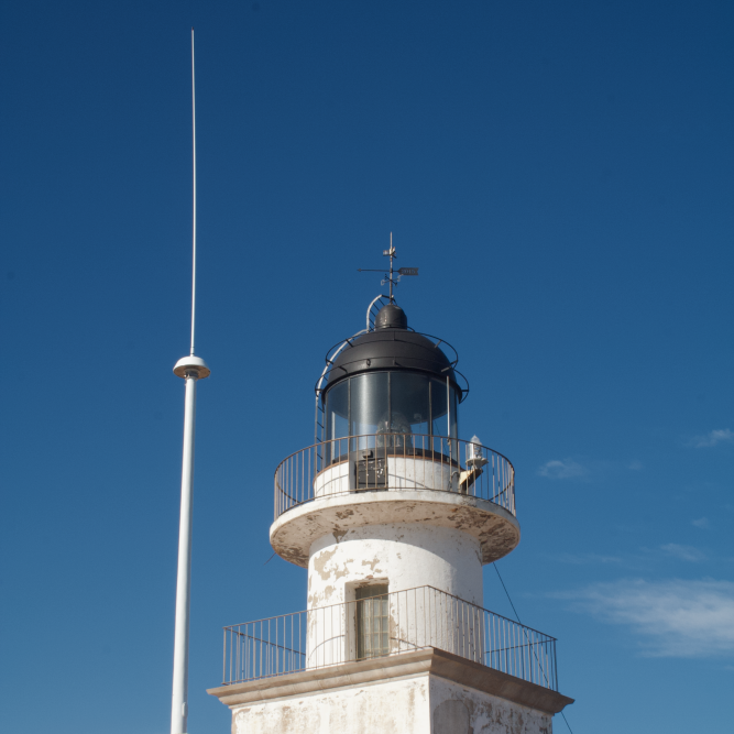
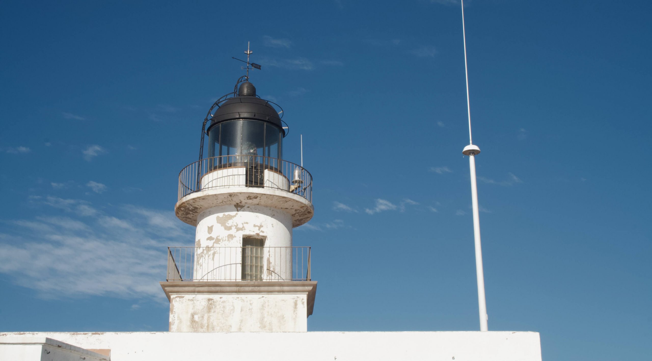
High-frequency radar of the ICATMAR Operational Oceanography Service installed at Cap de Creus.

In 2023 the ICATMAR Operational Oceanography Service was launched. The service has the main objective of measuring, analyzing, and predicting the physical characteristics of the sea, including ocean currents, water temperature and salinity, wave action, and sea level in the northwestern Mediterranean. From these measurements, oceanographic products are created to meet the needs of various marine sectors such as fisheries management, maritime rescue operations, environmental management, and climate change monitoring, among others.

To carry out its functions, the Operational Oceanography Service is deploying a network of seven high-frequency radars along the Catalan coast, which will be completed with the activation of the last two radars by the end of 2024. This radar network, owned by the Generalitat of Catalonia, provides real-time information on the direction and intensity of surface ocean currents within the coastal strip extending up to 40 nautical miles (approximately 74 km) from the Catalan coast. This information is complemented by the regular deployment of drifting buoys, fixed buoys, and other types of oceanographic instruments, which, once fully operational, will provide measurements of bottom and surface currents, surface temperature and salinity, wave action, and various atmospheric variables.

The data collected through ICATMAR’s observation network is combined with data from other agencies such as the Meteorological Service of Catalonia, EUMETSAT, and Copernicus, and integrated into oceanographic models developed by the Operational Oceanography Service. Soon, these models will offer high-resolution space-time forecasts on the state of the sea in Catalonia. This service will be a powerful tool made available by ICATMAR to the public, free of charge and easily accessible, so the maritime community of Catalonia can benefit from it for various applications. In fact, it is already possible to explore marine current data by accessing the oceanographical observations data viewer on our website.
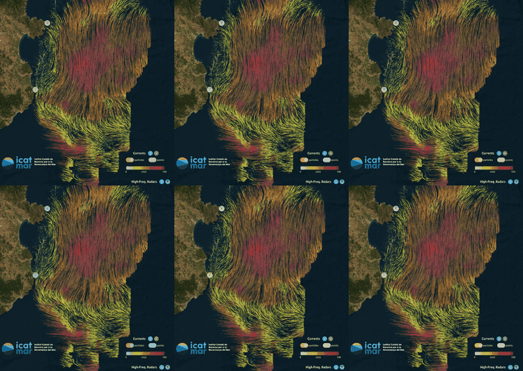
Oceanographical observations data viewer on the ICATMAR website.

Finally, it is worth noting that our social networks (X and LinkedIn) regularly publish updated information on average surface temperature and marine heatwaves in the northwestern Mediterranean, as well as daily forecasts of water temperature along the Catalan coast. In addition, the ICATMAR website provides quick and easy access to these and other services offered by the Operational Oceanography Service:

New network of radars will measure sea currents and waves in real-time

Marine currents play a key role in the ocean by transporting heat, nutrients and planktonic organisms. They also affect shipping, fishing activity, beach water quality and determine the trajectory of pollutants and other drifting objects.

In total, the network will consist of 7 antennas, 2 of which are already operating and the rest will be commissioned before the end of 2024 / ICM-CSIC.

Despite their importance, existing measures on marine currents in Catalonia are quite limited. However, from now on the extent and resolution of these data will be significantly improved thanks to the implementation of a new high-frequency radar network managed by the ICATMAR, a cooperative body between the Institut de Ciències del Mar (ICM-CSIC) and the Generalitat de Catalunya that aims to provide scientific advice on maritime issues, promote cooperation and boost marine research.

“The new network will make it possible to monitor marine currents and waves in real time, which will help improve fisheries management, biodiversity status, safety and maritime transport”, explains the ICM-CSIC researcher Jordi Isern, head of the new ICATMAR operational oceanography service, who adds that “the radars will also help predict the movement of pollutants in order to reduce their impact between the coastline and some 40 miles offshore”.

In total, the network will be made up of 7 antennas -2 of which are already operating and the rest will be commissioned before the end of 2024- which will provide the direction and intensity of surface currents -at 1-meter depth- and hourly wave measurements.

“This is basic information to improve fisheries management, optimize navigation routes and contribute to the search for people in case of shipwrecks,” details Isern in this regard.

Finally, the new network will be complemented by the deployment, in the next two years, of another network of oceanographic buoys designed in conjunction with the Meteorological Service of Catalonia that will be used to obtain measurements of bottom currents, surface temperature and salinity, waves and atmospheric measurements. All these data will be integrated with other data collected on European coasts in the framework of different national and international projects.

All in all, these infrastructures will help advancing in the sustainable development of the Blue Economy in Catalonia, which includes the fishing and recreational maritime sectors, but also to optimize responses to emergency situations such as shipwrecks or pollutant spills. Likewise, the incorporation of these data to the oceanic models that are being developed in the context of ICATMAR will allow much more accurate predictions of marine currents.