New network of radars will measure sea currents and waves in real-time

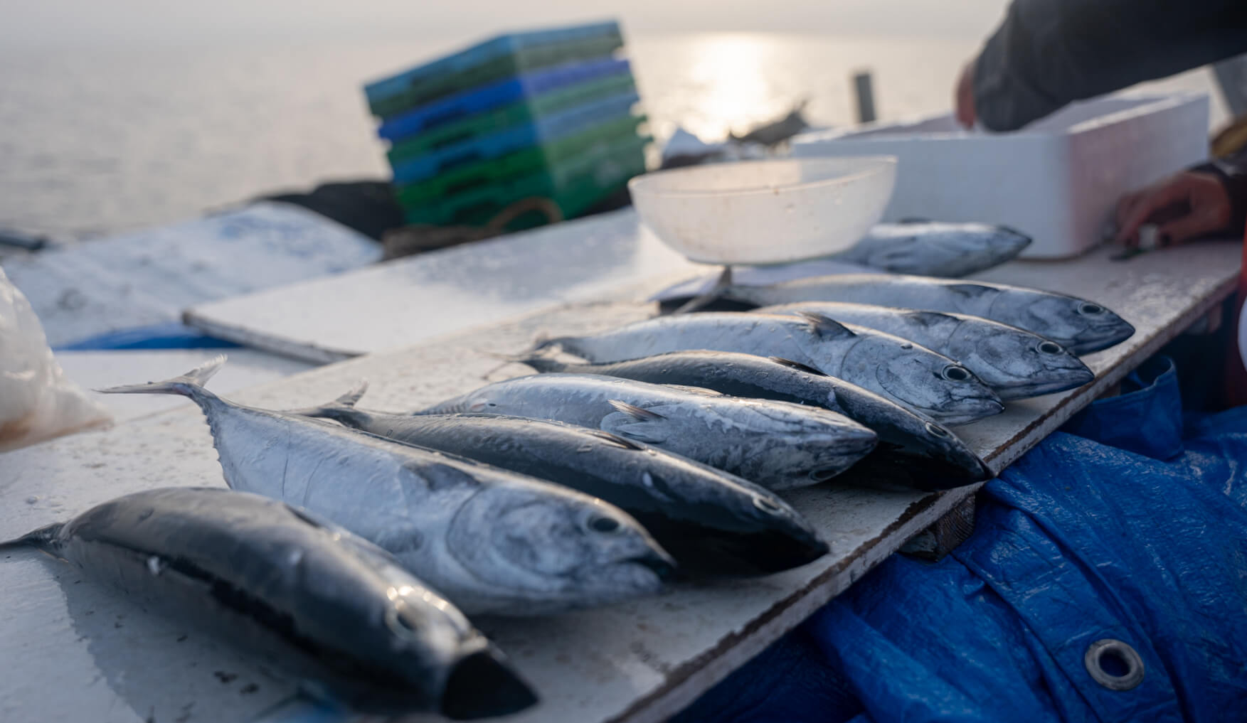
Marine currents play a key role in the ocean by transporting heat, nutrients and planktonic organisms. They also affect shipping, fishing activity, beach water quality and determine the trajectory of pollutants and other drifting objects.

Despite their importance, existing measures on marine currents in Catalonia are quite limited. However, from now on the extent and resolution of these data will be significantly improved thanks to the implementation of a new high-frequency radar network managed by the ICATMAR, a cooperative body between the Institut de Ciències del Mar (ICM-CSIC) and the Generalitat de Catalunya that aims to provide scientific advice on maritime issues, promote cooperation and boost marine research.

“The new network will make it possible to monitor marine currents and waves in real time, which will help improve fisheries management, biodiversity status, safety and maritime transport”, explains the ICM-CSIC researcher Jordi Isern, head of the new ICATMAR operational oceanography service, who adds that “the radars will also help predict the movement of pollutants in order to reduce their impact between the coastline and some 40 miles offshore”.

In total, the network will be made up of 7 antennas -2 of which are already operating and the rest will be commissioned before the end of 2024- which will provide the direction and intensity of surface currents -at 1-meter depth- and hourly wave measurements.

“This is basic information to improve fisheries management, optimize navigation routes and contribute to the search for people in case of shipwrecks,” details Isern in this regard.

Finally, the new network will be complemented by the deployment, in the next two years, of another network of oceanographic buoys designed in conjunction with the Meteorological Service of Catalonia that will be used to obtain measurements of bottom currents, surface temperature and salinity, waves and atmospheric measurements. All these data will be integrated with other data collected on European coasts in the framework of different national and international projects.

All in all, these infrastructures will help advancing in the sustainable development of the Blue Economy in Catalonia, which includes the fishing and recreational maritime sectors, but also to optimize responses to emergency situations such as shipwrecks or pollutant spills. Likewise, the incorporation of these data to the oceanic models that are being developed in the context of ICATMAR will allow much more accurate predictions of marine currents.

Consult the latest ICATMAR reports

You can now consult and download the latest ICATMAR reports in the Publications section.

State of fisheries in Catalonia 2021, Part 1 contains, on the one hand, the results of the monitoring of the Catalan commercial fishing fleet throughout 2021 and, on the other hand, describes the changes and updates applied to the information systems and data analysis structures used for the preparation of this report. In addition, a spatial-temporal analysis of the structure by métiers of the Catalan trawl fleet is presented.

State of fisheries in Catalonia 2021, Part 2, presents the results obtained by ICATMAR using, for the first time, its own data for the assessment of fish stocks along the Catalan coast. The assessment is carried out for five target species of the WMMAP (Western Mediterranean Multiannual Plan): red mullet, hake, deep-water rose shrimp, Norway lobster and blue and red shrimp.

Finally, Fisheries advisory report for the Northern GSA6 2021 is a compilation of fisheries management considerations for GSA6, the geographical sub-area where the coasts of Catalonia are located. This report presents conclusions drawn from the monitoring carried out by ICATMAR for the Catalan trawl fishery, as well as an analysis of spatial fishing closures effectiveness in the north of Catalonia, among other considerations.

Catalonia adds 20 permanent no-take zones to its marine protected areas

The new no-take zones total 462 square kilometers, which is roughly equivalent to the extension of Andorra.

Source ICATMAR / Authors:José Antonio García del Arco & Joan Sala-Coromina

Catalonia has added this 2022 a total of 20 new marine protected areas banned to demersal fishing, i.e., fishing of species that inhabit the seabed. The total surface area of these zones is 462 square kilometers, which adds up to 283 times the previous protected area where this type of fishing was not allowed.

The creation of this new marine protected areas network is the result of a close collaboration between the Catalan fishermen’s guilds, the scientific sector, represented by the Institut Català de Recerca per a la Governança del Mar (ICATMAR) and the Institut de Ciències del Mar (ICM-CSIC) of Barcelona, and the Generalitat de Catalunya for more than three years.

“This measure will contribute to the recovery of ecosystems and marine species that are part of them,” celebrates the ICM-CSIC and ICATMAR researcher Laura Recasens.

The initiative is part of the Maritime Strategy of Catalonia, which is based on the co-management model, i.e. the active participation of all stakeholders involved in decision-making on fisheries management. However, the first steps were taken in 2013 by a group of fishermen from the Roses fishermen’s guild who decided to carry out the first closure of a fishing area. Later, in 2015, a scientific team from the ICM-CSIC began to study how this measure was contributing to the ecosystem’s recovery.

This first closure led to an increase in the abundance of juveniles and adults of commercial species, not only within the protected area, but also in adjacent areas. Therefore, researchers decided to extend the initiative to all the fishermen’s guilds in Catalonia until the current establishment of this network of 20 new marine protected areas along the entire coastline.

The Catalan model is also being implemented in other areas of Spain thanks to the collaboration between ICATMAR and the Spanish Institute of Oceanography (IEO) with the Spanish government’s Fisheries Secretariat.

A historic milestone

Alogether, the protected zones total 462 square kilometers, which is roughly equivalent to the surface area of Andorra.

“We value very positively the fact that, in order to carry out the implementation of this model in Catalonia, the different fishermen’s guilds have had to give up exploiting part of their fishing grounds, thus contributing to the protection of marine ecosystems,” states the ICM-CSIC and ICATMAR researcher Joan B. Company, who is convinced that the new measure will be very beneficial for the marine environment.

Because of the existence of this marine protected areas network, from January 2022 no demersal fishing activity will be allowed, which will favour the biodiversity recovery and the increase of the biomass of the species in these habitats, including those of commercial interest.

In this sense, ICATMAR and ICM-CSIC are committed to a monitoring and restoration program of exploited ecosystems to ensure a continuous gathering of quality scientific data to inform the administration’s decisions on fisheries management.